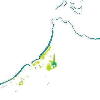
ga_s2ls_intertidal_cyear_3_x179y166_2019--P1Y_final.stac-item
dataset of product ga_s2ls_intertidal_cyear_3
Indexed by odc_admin
,
created
Region
x179y166
for
1st January 2019
Fields 🔗
creation_time
2024-03-28 11:07:16
dataset_maturity
final
eo_gsd
10.0
format
GeoTIFF
id
e0aa9482-43fb-49c6-b556-4bed6b936cf0
instrument
ETM_OLI_TIRS_MSI
intertidal_hat
1.68
intertidal_hot
1.57
intertidal_lat
-1.6
intertidal_lot
-0.77
intertidal_offset_high
3.21
intertidal_offset_low
25.34
intertidal_otr
2.34
intertidal_spread
71.45
intertidal_tr
3.28
intertidal_tr_class
mesotidal
label
•
lat
-14.511 to -14.192
lon
144.037 to 144.357
platform
landsat-7,landsat-8,sentinel-2a,sentinel-2b
product_family
intertidal
region_code
x179y166
time
2019-01-01 00:00:00 to 2019-12-31 23:59:59