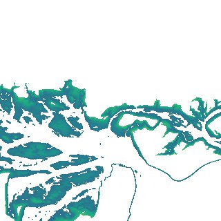
ga_s2ls_intertidal_cyear_3_x177y081_2019--P1Y_final.stac-item
dataset of product ga_s2ls_intertidal_cyear_3
Indexed by odc_admin
,
created
Region
x177y081
for
1st January 2019
Fields 🔗
creation_time
2024-03-28 22:07:03
dataset_maturity
final
eo_gsd
10.0
format
GeoTIFF
id
c8c19fd9-2ae3-4074-8fc6-5cb644465cd2
instrument
ETM_OLI_TIRS_MSI
intertidal_hat
1.11
intertidal_hot
0.65
intertidal_lat
-1.36
intertidal_lot
-1.23
intertidal_offset_high
18.45
intertidal_offset_low
5.22
intertidal_otr
1.88
intertidal_spread
76.33
intertidal_tr
2.47
intertidal_tr_class
mesotidal
label
•
lat
-38.87 to -38.548
lon
146.222 to 146.625
platform
landsat-7,landsat-8,sentinel-2a,sentinel-2b
product_family
intertidal
region_code
x177y081
time
2019-01-01 00:00:00 to 2019-12-31 23:59:59