ga_s2ls_intertidal_cyear_3_x109y099_2018--P1Y_final.stac-item
dataset of product ga_s2ls_intertidal_cyear_3
Indexed by odc_admin
,
created
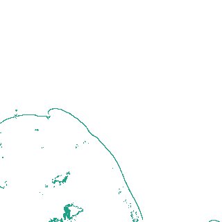
Region
x109y099
for
1st January 2018
Fields 🔗
creation_time
2024-04-02 07:53:14
dataset_maturity
final
eo_gsd
10.0
format
GeoTIFF
id
767b0d62-9aa8-4f35-ad9c-833b67750270
instrument
ETM_OLI_TIRS_MSI
intertidal_hat
0.63
intertidal_hot
0.58
intertidal_lat
-0.49
intertidal_lot
-0.29
intertidal_offset_high
4.37
intertidal_offset_low
17.93
intertidal_otr
0.87
intertidal_spread
77.7
intertidal_tr
1.12
intertidal_tr_class
microtidal
label
•
lat
-33.991 to -33.683
lon
121.895 to 122.269
platform
landsat-7,landsat-8,sentinel-2a,sentinel-2b
product_family
intertidal
region_code
x109y099
time
2018-01-01 00:00:00 to 2018-12-31 23:59:59