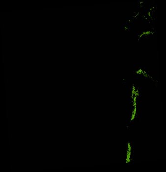
ga_ls_mangrove_cover_cyear_3_x39y44_2012-01-01_final
dataset of product ga_ls_mangrove_cover_cyear_3
Indexed by odc_writer
,
created
Region
x39y44
for
1st January 2012
Fields 🔗
cloud_cover
•
creation_time
2022-04-01 08:31:38
crs_raw
epsg:3577
dataset_maturity
final
format
GeoTIFF
id
b9b6c994-6a67-4caf-991e-da74b8d70653
instrument
ETM
label
ga_ls_mangrove_cover_cyear_3_x39y44_2012-01-01_final
lat
-11.488 to -10.533
lon
141.417 to 142.339
platform
landsat-7
product_family
mangrove_cover
region_code
x39y44
time
2012-01-01 00:00:00 to 2012-12-31 23:59:59
Related Datasets 🔗
ga_ls_mangrove_cover_cyear_3_x39y44_2012-01-01_final