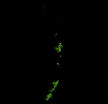
ga_ls_mangrove_cover_cyear_3_x43y36_2022-01-01_final
dataset of product ga_ls_mangrove_cover_cyear_3
Indexed by odc_writer
,
created
Region
x43y36
for
1st January 2022
Fields 🔗
cloud_cover
•
creation_time
2023-02-07 07:22:19
crs_raw
epsg:3577
dataset_maturity
final
format
GeoTIFF
id
58e93429-723d-4224-9b2f-11affca85784
instrument
ETM_OLI_TIRS
label
ga_ls_mangrove_cover_cyear_3_x43y36_2022-01-01_final
lat
-18.152 to -17.194
lon
145.544 to 146.542
platform
landsat-7,landsat-8
product_family
mangrove_cover
region_code
x43y36
time
2022-01-01 00:00:00 to 2022-12-31 23:59:59
Related Datasets 🔗
ga_ls_mangrove_cover_cyear_3_x43y36_2022-01-01_final