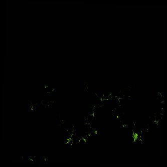
ga_ls_mangrove_cover_cyear_3_x21y41_1995-01-01_final
dataset of product ga_ls_mangrove_cover_cyear_3
Indexed by odc_writer
,
created
Region
x21y41
for
1st January 1995
Fields 🔗
cloud_cover
•
creation_time
2022-03-31 11:09:39
crs_raw
epsg:3577
dataset_maturity
final
format
GeoTIFF
id
2a17d78f-3e28-44b8-ba7f-d6a791a23249
instrument
TM
label
ga_ls_mangrove_cover_cyear_3_x21y41_1995-01-01_final
lat
-14.384 to -13.467
lon
125.836 to 126.751
platform
landsat-5
product_family
mangrove_cover
region_code
x21y41
time
1995-01-01 00:00:00 to 1995-12-31 23:59:59
Related Datasets 🔗
ga_ls_mangrove_cover_cyear_3_x21y41_1995-01-01_final