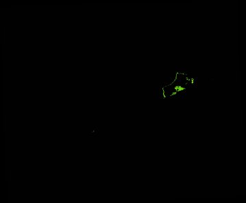
ga_ls_mangrove_cover_fyear_3_x32y18_2015-07-01_final
dataset of product ga_ls_mangrove_cover_fyear_3
Indexed by odc_admin
,
created
Region
x32y18
for
1st July 2015
Fields 🔗
cloud_cover
•
creation_time
2022-06-26 14:17:30
crs_raw
epsg:3577
dataset_maturity
final
format
GeoTIFF
id
fede8fbb-78bb-4af7-b61a-c850a43056af
instrument
OLI_TIRS
label
ga_ls_mangrove_cover_fyear_3_x32y18_2015-07-01_final
lat
-34.242 to -33.35
lon
136.155 to 137.235
platform
landsat-8
product_family
mangrove_cover
region_code
x32y18
time
2015-07-01 00:00:00 to 2016-06-29 23:59:59
Related Datasets 🔗
ga_ls_mangrove_cover_fyear_3_x32y18_2015-07-01_final