ga_s2ls_intertidal_cyear_3_x105y098_2019--P1Y_final.stac-item
dataset of product ga_s2ls_intertidal_cyear_3
Indexed by odc_admin
,
created
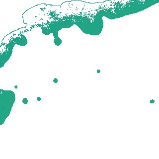
Region
x105y098
for
1st January 2019
Fields 🔗
creation_time
2024-04-02 00:05:40
dataset_maturity
final
eo_gsd
10.0
format
GeoTIFF
id
f73f18f5-dbc9-4e0c-843f-74c7f1f95f51
instrument
ETM_OLI_TIRS_MSI
intertidal_hat
0.6
intertidal_hot
0.56
intertidal_lat
-0.48
intertidal_lot
-0.34
intertidal_offset_high
3.71
intertidal_offset_low
12.64
intertidal_otr
0.9
intertidal_spread
83.65
intertidal_tr
1.08
intertidal_tr_class
microtidal
label
•
lat
-34.183 to -33.872
lon
120.477 to 120.855
platform
landsat-7,landsat-8,sentinel-2a,sentinel-2b
product_family
intertidal
region_code
x105y098
time
2019-01-01 00:00:00 to 2019-12-31 23:59:59