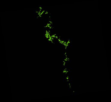
ga_ls_mangrove_cover_cyear_3_x46y31_2006-01-01_final
dataset of product ga_ls_mangrove_cover_cyear_3
Indexed by odc_writer
,
created
Region
x46y31
for
1st January 2006
Fields 🔗
cloud_cover
•
creation_time
2022-04-01 08:03:36
crs_raw
epsg:3577
dataset_maturity
final
format
GeoTIFF
id
f079bcb1-120d-4998-ae6a-df5174f57664
instrument
TM
label
ga_ls_mangrove_cover_cyear_3_x46y31_2006-01-01_final
lat
-22.128 to -21.159
lon
148.816 to 149.868
platform
landsat-5
product_family
mangrove_cover
region_code
x46y31
time
2006-01-01 00:00:00 to 2006-12-31 23:59:59
Related Datasets 🔗
ga_ls_mangrove_cover_cyear_3_x46y31_2006-01-01_final