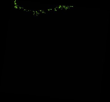
ga_ls_mangrove_cover_fyear_3_x12y32_2010-07-01_final
dataset of product ga_ls_mangrove_cover_fyear_3
Indexed by odc_admin
,
created
Region
x12y32
for
1st July 2010
Fields 🔗
cloud_cover
•
creation_time
2022-06-26 13:56:37
crs_raw
epsg:3577
dataset_maturity
final
format
GeoTIFF
id
ee18c487-f66d-49ff-83c3-b7959b3b5466
instrument
ETM_TM
label
ga_ls_mangrove_cover_fyear_3_x12y32_2010-07-01_final
lat
-21.586 to -20.633
lon
117.034 to 118.064
platform
landsat-5,landsat-7
product_family
mangrove_cover
region_code
x12y32
time
2010-07-01 00:00:00 to 2011-06-30 23:59:59
Related Datasets 🔗
ga_ls_mangrove_cover_fyear_3_x12y32_2010-07-01_final