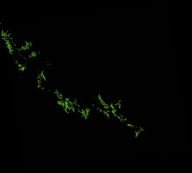
ga_ls_mangrove_cover_cyear_3_x48y28_2013-01-01_final
dataset of product ga_ls_mangrove_cover_cyear_3
Indexed by odc_writer
,
created
Region
x48y28
for
1st January 2013
Fields 🔗
cloud_cover
•
creation_time
2022-04-01 08:37:54
crs_raw
epsg:3577
dataset_maturity
final
format
GeoTIFF
id
d87b6833-349a-4d14-96e7-70d40a24afcf
instrument
ETM_OLI_TIRS
label
ga_ls_mangrove_cover_cyear_3_x48y28_2013-01-01_final
lat
-24.435 to -23.457
lon
151.074 to 152.162
platform
landsat-7,landsat-8
product_family
mangrove_cover
region_code
x48y28
time
2013-01-01 00:00:00 to 2013-12-31 23:59:59
Related Datasets 🔗
ga_ls_mangrove_cover_cyear_3_x48y28_2013-01-01_final