ga_s2ls_intertidal_cyear_3_x196y136_2022--P1Y_final.stac-item
dataset of product ga_s2ls_intertidal_cyear_3
Indexed by odc_admin
,
created
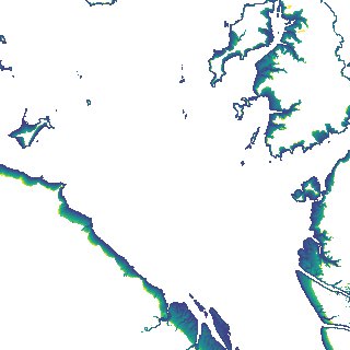
Region
x196y136
for
1st January 2022
Fields 🔗
creation_time
2024-04-01 11:18:01
dataset_maturity
final
eo_gsd
10.0
format
GeoTIFF
id
b9fb3d21-d391-4681-baad-4716788c2493
instrument
ETM_OLI_TIRS_MSI
intertidal_hat
3.98
intertidal_hot
3.85
intertidal_lat
-3.58
intertidal_lot
-2.11
intertidal_offset_high
1.69
intertidal_offset_low
19.47
intertidal_otr
5.96
intertidal_spread
78.83
intertidal_tr
7.56
intertidal_tr_class
macrotidal
label
•
lat
-22.538 to -22.214
lon
150.222 to 150.577
platform
landsat-7,landsat-8,landsat-9,sentinel-2a,sentinel-2b
product_family
intertidal
region_code
x196y136
time
2022-01-01 00:00:00 to 2022-12-31 23:59:59