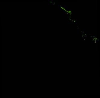
ga_ls_mangrove_cover_fyear_3_x32y39_2010-07-01_final
dataset of product ga_ls_mangrove_cover_fyear_3
Indexed by odc_writer
,
created
Region
x32y39
for
1st July 2010
Fields 🔗
cloud_cover
•
creation_time
2022-06-27 05:54:56
crs_raw
epsg:3577
dataset_maturity
final
format
GeoTIFF
id
b8d6eea1-8cd4-4c90-95d1-d79081d430f4
instrument
ETM_TM
label
ga_ls_mangrove_cover_fyear_3_x32y39_2010-07-01_final
lat
-16.192 to -15.292
lon
135.549 to 136.466
platform
landsat-5,landsat-7
product_family
mangrove_cover
region_code
x32y39
time
2010-07-01 00:00:00 to 2011-06-30 23:59:59
Related Datasets 🔗
ga_ls_mangrove_cover_fyear_3_x32y39_2010-07-01_final