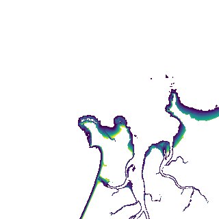
ga_s2ls_intertidal_cyear_3_x129y169_2016--P1Y_final.stac-item
dataset of product ga_s2ls_intertidal_cyear_3
Indexed by odc_admin
,
created
Region
x129y169
for
1st January 2016
Fields 🔗
creation_time
2024-04-02 22:14:32
dataset_maturity
final
eo_gsd
10.0
format
GeoTIFF
id
b3852b80-c533-45cd-8ee5-dcabb019cfe5
instrument
ETM_OLI_TIRS_MSI
intertidal_hat
3.45
intertidal_hot
2.35
intertidal_lat
-4.03
intertidal_lot
-3.16
intertidal_offset_high
14.7
intertidal_offset_low
11.58
intertidal_otr
5.51
intertidal_spread
73.72
intertidal_tr
7.48
intertidal_tr_class
macrotidal
label
•
lat
-14.179 to -13.881
lon
129.362 to 129.661
platform
landsat-7,landsat-8,sentinel-2a,sentinel-2b
product_family
intertidal
region_code
x129y169
time
2016-01-01 00:00:00 to 2016-12-31 23:59:59