ga_s2ls_intertidal_cyear_3_x090y101_2017--P1Y_final.stac-item
dataset of product ga_s2ls_intertidal_cyear_3
Indexed by odc_admin
,
created
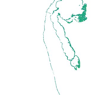
Region
x090y101
for
1st January 2017
Fields 🔗
creation_time
2024-04-02 11:48:07
dataset_maturity
final
eo_gsd
10.0
format
GeoTIFF
id
b124cdab-db84-4bce-bf4a-88938eef44e2
instrument
ETM_OLI_TIRS_MSI
intertidal_hat
0.44
intertidal_hot
0.41
intertidal_lat
-0.41
intertidal_lot
-0.3
intertidal_offset_high
3.1
intertidal_offset_low
13.59
intertidal_otr
0.71
intertidal_spread
83.32
intertidal_tr
0.85
intertidal_tr_class
microtidal
label
•
lat
-32.867 to -32.547
lon
115.424 to 115.81
platform
landsat-7,landsat-8,sentinel-2a,sentinel-2b
product_family
intertidal
region_code
x090y101
time
2017-01-01 00:00:00 to 2017-12-31 23:59:59