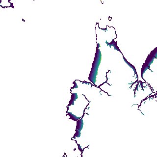
ga_s2ls_intertidal_cyear_3_x112y161_2022--P1Y_final.stac-item
dataset of product ga_s2ls_intertidal_cyear_3
Indexed by odc_admin
,
created
Region
x112y161
for
1st January 2022
Fields 🔗
creation_time
2024-03-31 22:46:43
dataset_maturity
final
eo_gsd
10.0
format
GeoTIFF
id
b10fb291-d972-43c0-a613-c6558ed0394c
instrument
ETM_OLI_TIRS_MSI
intertidal_hat
5.59
intertidal_hot
3.71
intertidal_lat
-5.36
intertidal_lot
-4.47
intertidal_offset_high
17.18
intertidal_offset_low
8.11
intertidal_otr
8.18
intertidal_spread
74.71
intertidal_tr
10.95
intertidal_tr_class
macrotidal
label
•
lat
-16.32 to -16.012
lon
124.246 to 124.561
platform
landsat-7,landsat-8,landsat-9,sentinel-2a,sentinel-2b
product_family
intertidal
region_code
x112y161
time
2022-01-01 00:00:00 to 2022-12-31 23:59:59