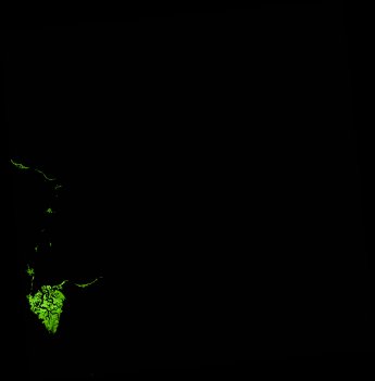
ga_ls_mangrove_cover_fyear_3_x41y42_2020-07-01_final
dataset of product ga_ls_mangrove_cover_fyear_3
Indexed by odc_writer
,
created
Region
x41y42
for
1st July 2020
Fields 🔗
cloud_cover
•
creation_time
2022-10-07 00:29:09
crs_raw
epsg:3577
dataset_maturity
final
format
GeoTIFF
id
abf42bbf-64c7-4b3e-a1b4-b3c1cb46ce98
instrument
OLI_TIRS
label
ga_ls_mangrove_cover_fyear_3_x41y42_2020-07-01_final
lat
-13.106 to -12.146
lon
143.272 to 144.217
platform
landsat-8
product_family
mangrove_cover
region_code
x41y42
time
2020-07-01 00:00:00 to 2021-07-01 23:59:59
Related Datasets 🔗
ga_ls_mangrove_cover_fyear_3_x41y42_2020-07-01_final