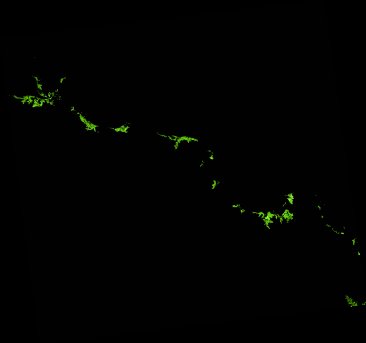
ga_ls_mangrove_cover_cyear_3_x45y33_1987-01-01_final
dataset of product ga_ls_mangrove_cover_cyear_3
Indexed by odc_writer
,
created
Region
x45y33
for
1st January 1987
Fields 🔗
cloud_cover
•
creation_time
2022-03-31 00:56:03
crs_raw
epsg:3577
dataset_maturity
final
format
GeoTIFF
id
ab527db0-4c0f-4a68-a337-7a0ded119bbe
instrument
TM
label
ga_ls_mangrove_cover_cyear_3_x45y33_1987-01-01_final
lat
-20.53 to -19.565
lon
147.664 to 148.695
platform
landsat-5
product_family
mangrove_cover
region_code
x45y33
time
1987-01-01 00:00:00 to 1987-12-31 23:59:59
Related Datasets 🔗
ga_ls_mangrove_cover_cyear_3_x45y33_1987-01-01_final