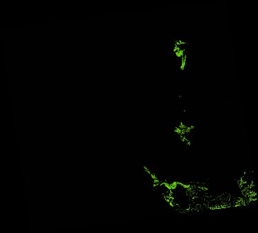
ga_ls_mangrove_cover_cyear_3_x47y29_2006-01-01_final
dataset of product ga_ls_mangrove_cover_cyear_3
Indexed by odc_writer
,
created
Region
x47y29
for
1st January 2006
Fields 🔗
cloud_cover
•
creation_time
2022-04-01 08:03:38
crs_raw
epsg:3577
dataset_maturity
final
format
GeoTIFF
id
a5d0026b-5333-4dbb-92a1-c1dd118be258
instrument
TM
label
ga_ls_mangrove_cover_cyear_3_x47y29_2006-01-01_final
lat
-23.712 to -22.739
lon
150.0 to 151.074
platform
landsat-5
product_family
mangrove_cover
region_code
x47y29
time
2006-01-01 00:00:00 to 2006-12-31 23:59:59
Related Datasets 🔗
ga_ls_mangrove_cover_cyear_3_x47y29_2006-01-01_final