ga_s2ls_intertidal_cyear_3_x176y182_2018--P1Y_final.stac-item
dataset of product ga_s2ls_intertidal_cyear_3
Indexed by odc_admin
,
created
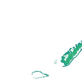
Region
x176y182
for
1st January 2018
Fields 🔗
creation_time
2024-04-02 09:23:26
dataset_maturity
final
eo_gsd
10.0
format
GeoTIFF
id
a55334ff-e638-4519-8b02-5e1142281bb7
instrument
ETM_OLI_TIRS_MSI
intertidal_hat
2.18
intertidal_hot
1.93
intertidal_lat
-1.79
intertidal_lot
-0.76
intertidal_offset_high
6.5
intertidal_offset_low
26.01
intertidal_otr
2.69
intertidal_spread
67.49
intertidal_tr
3.97
intertidal_tr_class
mesotidal
label
•
lat
-9.892 to -9.57
lon
142.766 to 143.072
platform
landsat-7,landsat-8,sentinel-2a,sentinel-2b
product_family
intertidal
region_code
x176y182
time
2018-01-01 00:00:00 to 2018-12-31 23:59:59