ga_s2ls_intertidal_cyear_3_x105y158_2019--P1Y_final.stac-item
dataset of product ga_s2ls_intertidal_cyear_3
Indexed by odc_admin
,
created
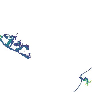
Region
x105y158
for
1st January 2019
Fields 🔗
creation_time
2024-04-02 00:06:18
dataset_maturity
final
eo_gsd
10.0
format
GeoTIFF
id
a067b063-97e9-45b0-bf3c-bed41f761118
instrument
ETM_OLI_TIRS_MSI
intertidal_hat
3.76
intertidal_hot
2.96
intertidal_lat
-3.83
intertidal_lot
-2.14
intertidal_offset_high
10.56
intertidal_offset_low
22.31
intertidal_otr
5.1
intertidal_spread
67.13
intertidal_tr
7.59
intertidal_tr_class
macrotidal
label
•
lat
-17.053 to -16.742
lon
122.097 to 122.419
platform
landsat-7,landsat-8,sentinel-2a,sentinel-2b
product_family
intertidal
region_code
x105y158
time
2019-01-01 00:00:00 to 2019-12-31 23:59:59