ga_s2ls_intertidal_cyear_3_x106y174_2017--P1Y_final.stac-item
dataset of product ga_s2ls_intertidal_cyear_3
Indexed by odc_admin
,
created
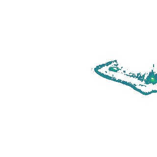
Region
x106y174
for
1st January 2017
Fields 🔗
creation_time
2024-03-28 10:50:46
dataset_maturity
final
eo_gsd
10.0
format
GeoTIFF
id
934254ee-4175-45d0-bf7f-5a7d68b5e43c
instrument
ETM_OLI_TIRS_MSI
intertidal_hat
2.07
intertidal_hot
1.73
intertidal_lat
-2.1
intertidal_lot
-1.03
intertidal_offset_high
8.3
intertidal_offset_low
25.64
intertidal_otr
2.76
intertidal_spread
66.06
intertidal_tr
4.17
intertidal_tr_class
macrotidal
label
•
lat
-12.413 to -12.099
lon
122.743 to 123.052
platform
landsat-7,landsat-8,sentinel-2a,sentinel-2b
product_family
intertidal
region_code
x106y174
time
2017-01-01 00:00:00 to 2017-12-31 23:59:59