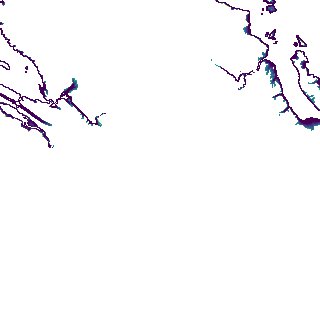
ga_s2ls_intertidal_cyear_3_x111y160_2018--P1Y_final.stac-item
dataset of product ga_s2ls_intertidal_cyear_3
Indexed by odc_admin
,
created
Region
x111y160
for
1st January 2018
Fields 🔗
creation_time
2024-04-02 08:04:44
dataset_maturity
final
eo_gsd
10.0
format
GeoTIFF
id
8ceb912a-f8be-4626-90b6-f1b905ea3c75
instrument
ETM_OLI_TIRS_MSI
intertidal_hat
5.41
intertidal_hot
3.19
intertidal_lat
-5.26
intertidal_lot
-3.87
intertidal_offset_high
20.8
intertidal_offset_low
13.01
intertidal_otr
7.06
intertidal_spread
66.19
intertidal_tr
10.67
intertidal_tr_class
macrotidal
label
•
lat
-16.592 to -16.284
lon
123.93 to 124.246
platform
landsat-7,landsat-8,sentinel-2a,sentinel-2b
product_family
intertidal
region_code
x111y160
time
2018-01-01 00:00:00 to 2018-12-31 23:59:59