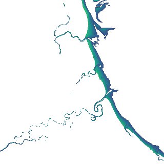
ga_s2ls_intertidal_cyear_3_x149y166_2022--P1Y_final.stac-item
dataset of product ga_s2ls_intertidal_cyear_3
Indexed by odc_admin
,
created
Region
x149y166
for
1st January 2022
Fields 🔗
creation_time
2024-03-28 09:41:01
dataset_maturity
final
eo_gsd
10.0
format
GeoTIFF
id
7338a2dc-33b3-495a-b51f-feb62aa37fec
instrument
ETM_OLI_TIRS_MSI
intertidal_hat
1.37
intertidal_hot
0.98
intertidal_lat
-1.86
intertidal_lot
-1.65
intertidal_offset_high
12.22
intertidal_offset_low
6.47
intertidal_otr
2.63
intertidal_spread
81.31
intertidal_tr
3.23
intertidal_tr_class
mesotidal
label
•
lat
-15.036 to -14.737
lon
135.238 to 135.541
platform
landsat-7,landsat-8,landsat-9,sentinel-2a,sentinel-2b
product_family
intertidal
region_code
x149y166
time
2022-01-01 00:00:00 to 2022-12-31 23:59:59