ga_s2ls_intertidal_cyear_3_x178y167_2021--P1Y_final.stac-item
dataset of product ga_s2ls_intertidal_cyear_3
Indexed by odc_admin
,
created
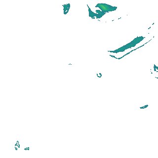
Region
x178y167
for
1st January 2021
Fields 🔗
creation_time
2024-03-26 04:40:49
dataset_maturity
final
eo_gsd
10.0
format
GeoTIFF
id
67d17f3b-97f6-4802-be27-f1670d537c73
instrument
ETM_OLI_TIRS_MSI
intertidal_hat
1.71
intertidal_hot
1.62
intertidal_lat
-1.67
intertidal_lot
-0.83
intertidal_offset_high
2.66
intertidal_offset_low
24.9
intertidal_otr
2.45
intertidal_spread
72.44
intertidal_tr
3.38
intertidal_tr_class
mesotidal
label
•
lat
-14.247 to -13.929
lon
143.718 to 144.037
platform
landsat-7,landsat-8,landsat-9,sentinel-2a,sentinel-2b
product_family
intertidal
region_code
x178y167
time
2021-01-01 00:00:00 to 2021-12-31 23:59:59