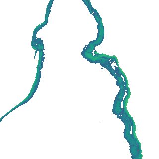
ga_s2ls_intertidal_cyear_3_x155y098_2016--P1Y_final.stac-item
dataset of product ga_s2ls_intertidal_cyear_3
Indexed by odc_admin
,
created
Region
x155y098
for
1st January 2016
Fields 🔗
creation_time
2024-03-31 06:31:37
dataset_maturity
final
eo_gsd
10.0
format
GeoTIFF
id
5eff238d-f10c-4599-bb00-de1b28858384
instrument
ETM_OLI_TIRS_MSI
intertidal_hat
1.76
intertidal_hot
0.62
intertidal_lat
-1.57
intertidal_lot
-1.25
intertidal_offset_high
34.23
intertidal_offset_low
9.52
intertidal_otr
1.87
intertidal_spread
56.25
intertidal_tr
3.33
intertidal_tr_class
mesotidal
label
•
lat
-34.472 to -34.171
lon
137.932 to 138.297
platform
landsat-7,landsat-8,sentinel-2a,sentinel-2b
product_family
intertidal
region_code
x155y098
time
2016-01-01 00:00:00 to 2016-12-31 23:59:59