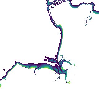
ga_s2ls_intertidal_cyear_3_x134y175_2018--P1Y_final.stac-item
dataset of product ga_s2ls_intertidal_cyear_3
Indexed by odc_admin
,
created
Region
x134y175
for
1st January 2018
Fields 🔗
creation_time
2024-04-02 08:29:44
dataset_maturity
final
eo_gsd
10.0
format
GeoTIFF
id
5d84e075-1b79-4d56-9a46-735fc8f48590
instrument
ETM_OLI_TIRS_MSI
intertidal_hat
3.4
intertidal_hot
2.24
intertidal_lat
-3.87
intertidal_lot
-3.02
intertidal_offset_high
15.91
intertidal_offset_low
11.64
intertidal_otr
5.26
intertidal_spread
72.45
intertidal_tr
7.27
intertidal_tr_class
macrotidal
label
•
lat
-12.437 to -12.14
lon
130.844 to 131.135
platform
landsat-7,landsat-8,sentinel-2a,sentinel-2b
product_family
intertidal
region_code
x134y175
time
2018-01-01 00:00:00 to 2018-12-31 23:59:59