ga_ls_mangrove_cover_cyear_3_x24y40_2000-01-01_final
dataset of product ga_ls_mangrove_cover_cyear_3
Indexed by odc_writer
,
created
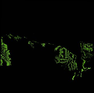
Region
x24y40
for
1st January 2000
Fields 🔗
cloud_cover
•
creation_time
2022-04-01 07:31:21
crs_raw
epsg:3577
dataset_maturity
final
format
GeoTIFF
id
5ba855c6-f1e0-4ee3-8751-e59579cde698
instrument
ETM
label
ga_ls_mangrove_cover_cyear_3_x24y40_2000-01-01_final
lat
-15.341 to -14.444
lon
128.451 to 129.356
platform
landsat-7
product_family
mangrove_cover
region_code
x24y40
time
2000-01-01 00:00:00 to 2000-12-31 23:59:59
Related Datasets 🔗
ga_ls_mangrove_cover_cyear_3_x24y40_2000-01-01_final