ga_s2ls_intertidal_cyear_3_x179y167_2019--P1Y_final.stac-item
dataset of product ga_s2ls_intertidal_cyear_3
Indexed by odc_admin
,
created
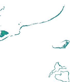
Region
x179y167
for
1st January 2019
Fields 🔗
creation_time
2024-04-02 02:06:11
dataset_maturity
final
eo_gsd
10.0
format
GeoTIFF
id
554d6743-7ee8-429b-a46d-676ce73d6b66
instrument
ETM_OLI_TIRS_MSI
intertidal_hat
1.59
intertidal_hot
1.47
intertidal_lat
-1.54
intertidal_lot
-0.81
intertidal_offset_high
3.68
intertidal_offset_low
23.21
intertidal_otr
2.28
intertidal_spread
73.11
intertidal_tr
3.13
intertidal_tr_class
mesotidal
label
•
lat
-14.22 to -13.901
lon
144.009 to 144.328
platform
landsat-7,landsat-8,sentinel-2a,sentinel-2b
product_family
intertidal
region_code
x179y167
time
2019-01-01 00:00:00 to 2019-12-31 23:59:59