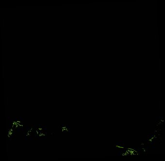
ga_ls_mangrove_cover_cyear_3_x35y38_2010-01-01_final
dataset of product ga_ls_mangrove_cover_cyear_3
Indexed by odc_writer
,
created
Region
x35y38
for
1st January 2010
Fields 🔗
cloud_cover
•
creation_time
2022-04-01 08:21:45
crs_raw
epsg:3577
dataset_maturity
final
format
GeoTIFF
id
4fd8b3ca-048a-4a16-a11a-8e676427f37c
instrument
ETM_TM
label
ga_ls_mangrove_cover_cyear_3_x35y38_2010-01-01_final
lat
-16.962 to -16.046
lon
138.251 to 139.192
platform
landsat-5,landsat-7
product_family
mangrove_cover
region_code
x35y38
time
2010-01-01 00:00:00 to 2010-12-31 23:59:59
Related Datasets 🔗
ga_ls_mangrove_cover_cyear_3_x35y38_2010-01-01_final