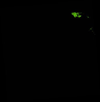
ga_ls_mangrove_cover_cyear_3_x40y42_2011-01-01_final
dataset of product ga_ls_mangrove_cover_cyear_3
Indexed by odc_writer
,
created
Region
x40y42
for
1st January 2011
Fields 🔗
cloud_cover
•
creation_time
2022-04-01 08:27:18
crs_raw
epsg:3577
dataset_maturity
final
format
GeoTIFF
id
48a3b8b1-2101-42e6-9b85-3bf45d67f7e4
instrument
ETM_TM
label
ga_ls_mangrove_cover_cyear_3_x40y42_2011-01-01_final
lat
-13.181 to -12.227
lon
142.409 to 143.349
platform
landsat-5,landsat-7
product_family
mangrove_cover
region_code
x40y42
time
2011-01-01 00:00:00 to 2011-12-31 23:59:59
Related Datasets 🔗
ga_ls_mangrove_cover_cyear_3_x40y42_2011-01-01_final