ga_s2ls_intertidal_cyear_3_x108y159_2018--P1Y_final.stac-item
dataset of product ga_s2ls_intertidal_cyear_3
Indexed by odc_admin
,
created
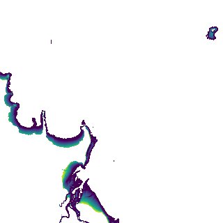
Region
x108y159
for
1st January 2018
Fields 🔗
creation_time
2024-04-02 08:04:02
dataset_maturity
final
eo_gsd
10.0
format
GeoTIFF
id
47e847f9-be6e-4e08-95e6-5ae0891682eb
instrument
ETM_OLI_TIRS_MSI
intertidal_hat
4.35
intertidal_hot
2.31
intertidal_lat
-4.19
intertidal_lot
-3.79
intertidal_offset_high
23.83
intertidal_offset_low
4.78
intertidal_otr
6.1
intertidal_spread
71.39
intertidal_tr
8.54
intertidal_tr_class
macrotidal
label
•
lat
-16.826 to -16.516
lon
123.015 to 123.334
platform
landsat-7,landsat-8,sentinel-2a,sentinel-2b
product_family
intertidal
region_code
x108y159
time
2018-01-01 00:00:00 to 2018-12-31 23:59:59