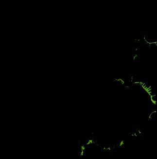
ga_ls_mangrove_cover_cyear_3_x25y42_1989-01-01_final
dataset of product ga_ls_mangrove_cover_cyear_3
Indexed by odc_writer
,
created
Region
x25y42
for
1st January 1989
Fields 🔗
cloud_cover
•
creation_time
2022-03-31 02:15:55
crs_raw
epsg:3577
dataset_maturity
final
format
GeoTIFF
id
4707175d-5350-437b-98c5-a78513049e9e
instrument
TM
label
ga_ls_mangrove_cover_cyear_3_x25y42_1989-01-01_final
lat
-13.603 to -12.707
lon
129.375 to 130.261
platform
landsat-5
product_family
mangrove_cover
region_code
x25y42
time
1989-01-01 00:00:00 to 1989-12-31 23:59:59
Related Datasets 🔗
ga_ls_mangrove_cover_cyear_3_x25y42_1989-01-01_final