ga_s2ls_intertidal_cyear_3_x154y177_2016--P1Y_final.stac-item
dataset of product ga_s2ls_intertidal_cyear_3
Indexed by odc_admin
,
created
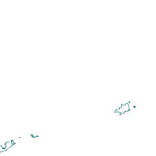
Region
x154y177
for
1st January 2016
Fields 🔗
creation_time
2024-04-02 22:29:21
dataset_maturity
final
eo_gsd
10.0
format
GeoTIFF
id
43b3681f-2ebc-4ef2-b538-435e97e6baef
instrument
ETM_OLI_TIRS_MSI
intertidal_hat
1.63
intertidal_hot
1.57
intertidal_lat
-1.81
intertidal_lot
-0.99
intertidal_offset_high
1.54
intertidal_offset_low
23.81
intertidal_otr
2.56
intertidal_spread
74.64
intertidal_tr
3.44
intertidal_tr_class
mesotidal
label
•
lat
-11.765 to -11.459
lon
136.593 to 136.89
platform
landsat-7,landsat-8,sentinel-2a,sentinel-2b
product_family
intertidal
region_code
x154y177
time
2016-01-01 00:00:00 to 2016-12-31 23:59:59