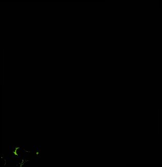
ga_ls_mangrove_cover_cyear_3_x30y44_1997-01-01_final
dataset of product ga_ls_mangrove_cover_cyear_3
Indexed by odc_writer
,
created
Region
x30y44
for
1st January 1997
Fields 🔗
cloud_cover
•
creation_time
2022-03-31 23:38:43
crs_raw
epsg:3577
dataset_maturity
final
format
GeoTIFF
id
425a01a2-fe71-4de6-8825-8e147b552dab
instrument
TM
label
ga_ls_mangrove_cover_cyear_3_x30y44_1997-01-01_final
lat
-11.838 to -10.936
lon
133.715 to 134.59
platform
landsat-5
product_family
mangrove_cover
region_code
x30y44
time
1997-01-01 00:00:00 to 1997-12-31 23:59:59
Related Datasets 🔗
ga_ls_mangrove_cover_cyear_3_x30y44_1997-01-01_final