ga_s2ls_intertidal_cyear_3_x179y078_2020--P1Y_final.stac-item
dataset of product ga_s2ls_intertidal_cyear_3
Indexed by odc_admin
,
created
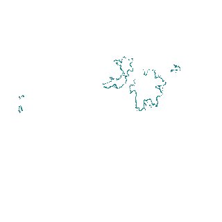
Region
x179y078
for
1st January 2020
Fields 🔗
creation_time
2024-04-02 06:08:28
dataset_maturity
final
eo_gsd
10.0
format
GeoTIFF
id
3fed73d5-6970-4464-b721-1d13664d3555
instrument
ETM_OLI_TIRS_MSI
intertidal_hat
1.1
intertidal_hot
0.97
intertidal_lat
-1.42
intertidal_lot
-1.32
intertidal_offset_high
5.14
intertidal_offset_low
3.8
intertidal_otr
2.29
intertidal_spread
91.05
intertidal_tr
2.52
intertidal_tr_class
mesotidal
label
•
lat
-39.673 to -39.348
lon
147.074 to 147.482
platform
landsat-7,landsat-8,sentinel-2a,sentinel-2b
product_family
intertidal
region_code
x179y078
time
2020-01-01 00:00:00 to 2020-12-31 23:59:59