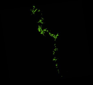
ga_ls_mangrove_cover_cyear_3_x46y31_2010-01-01_final
dataset of product ga_ls_mangrove_cover_cyear_3
Indexed by odc_writer
,
created
Region
x46y31
for
1st January 2010
Fields 🔗
cloud_cover
•
creation_time
2022-04-01 08:22:25
crs_raw
epsg:3577
dataset_maturity
final
format
GeoTIFF
id
3f2b713e-9f27-4541-ac83-fa5624a93242
instrument
ETM_TM
label
ga_ls_mangrove_cover_cyear_3_x46y31_2010-01-01_final
lat
-22.128 to -21.159
lon
148.816 to 149.868
platform
landsat-5,landsat-7
product_family
mangrove_cover
region_code
x46y31
time
2010-01-01 00:00:00 to 2010-12-31 23:59:59
Related Datasets 🔗
ga_ls_mangrove_cover_cyear_3_x46y31_2010-01-01_final