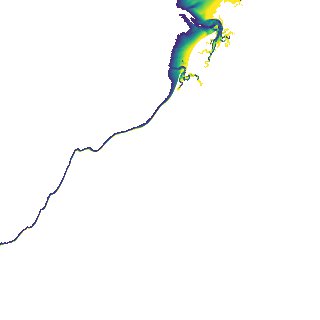
ga_s2ls_intertidal_cyear_3_x105y153_2017--P1Y_final.stac-item
dataset of product ga_s2ls_intertidal_cyear_3
Indexed by odc_admin
,
created
Region
x105y153
for
1st January 2017
Fields 🔗
creation_time
2024-04-02 11:59:34
dataset_maturity
final
eo_gsd
10.0
format
GeoTIFF
id
2fed6ff2-8951-4bd8-942c-1febcd94476a
instrument
ETM_OLI_TIRS_MSI
intertidal_hat
4.87
intertidal_hot
3.81
intertidal_lat
-4.87
intertidal_lot
-2.52
intertidal_offset_high
10.84
intertidal_offset_low
24.13
intertidal_otr
6.33
intertidal_spread
65.03
intertidal_tr
9.74
intertidal_tr_class
macrotidal
label
•
lat
-18.495 to -18.185
lon
121.98 to 122.305
platform
landsat-7,landsat-8,sentinel-2a,sentinel-2b
product_family
intertidal
region_code
x105y153
time
2017-01-01 00:00:00 to 2017-12-31 23:59:59