ga_s2ls_intertidal_cyear_3_x199y104_2021--P1Y_final.stac-item
dataset of product ga_s2ls_intertidal_cyear_3
Indexed by odc_admin
,
created
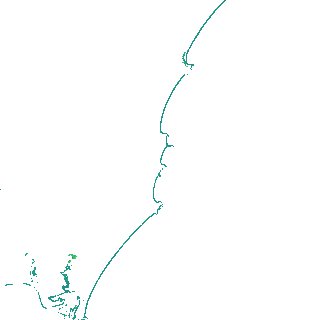
Region
x199y104
for
1st January 2021
Fields 🔗
creation_time
2024-03-26 06:49:36
dataset_maturity
final
eo_gsd
10.0
format
GeoTIFF
id
2d6f62b3-4b33-4b44-9107-79c648dffd34
instrument
ETM_OLI_TIRS_MSI
intertidal_hat
1.15
intertidal_hot
1.11
intertidal_lat
-0.91
intertidal_lot
-0.65
intertidal_offset_high
2.16
intertidal_offset_low
12.29
intertidal_otr
1.76
intertidal_spread
85.55
intertidal_tr
2.06
intertidal_tr_class
mesotidal
label
•
lat
-31.439 to -31.11
lon
152.771 to 153.161
platform
landsat-7,landsat-8,landsat-9,sentinel-2a,sentinel-2b
product_family
intertidal
region_code
x199y104
time
2021-01-01 00:00:00 to 2021-12-31 23:59:59