ga_s2ls_intertidal_cyear_3_x155y093_2019--P1Y_final.stac-item
dataset of product ga_s2ls_intertidal_cyear_3
Indexed by odc_admin
,
created
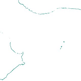
Region
x155y093
for
1st January 2019
Fields 🔗
creation_time
2024-04-02 01:34:48
dataset_maturity
final
eo_gsd
10.0
format
GeoTIFF
id
259dfcb1-2e16-421d-9581-43c5128426bb
instrument
ETM_OLI_TIRS_MSI
intertidal_hat
0.72
intertidal_hot
0.42
intertidal_lat
-0.52
intertidal_lot
-0.43
intertidal_offset_high
24.41
intertidal_offset_low
7.1
intertidal_otr
0.85
intertidal_spread
68.49
intertidal_tr
1.24
intertidal_tr_class
microtidal
label
•
lat
-35.909 to -35.607
lon
138.014 to 138.385
platform
landsat-7,landsat-8,sentinel-2a,sentinel-2b
product_family
intertidal
region_code
x155y093
time
2019-01-01 00:00:00 to 2019-12-31 23:59:59