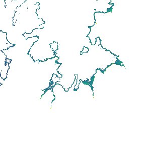
ga_s2ls_intertidal_cyear_3_x118y168_2016--P1Y_final.stac-item
dataset of product ga_s2ls_intertidal_cyear_3
Indexed by odc_admin
,
created
Region
x118y168
for
1st January 2016
Fields 🔗
creation_time
2024-04-02 22:06:04
dataset_maturity
final
eo_gsd
10.0
format
GeoTIFF
id
1c124c1a-f320-4c93-b5fd-e1309f069941
instrument
ETM_OLI_TIRS_MSI
intertidal_hat
2.6
intertidal_hot
2.16
intertidal_lat
-2.22
intertidal_lot
-1.26
intertidal_offset_high
9.06
intertidal_offset_low
19.7
intertidal_otr
3.42
intertidal_spread
71.24
intertidal_tr
4.82
intertidal_tr_class
macrotidal
label
•
lat
-14.372 to -14.066
lon
126.129 to 126.435
platform
landsat-7,landsat-8,sentinel-2a,sentinel-2b
product_family
intertidal
region_code
x118y168
time
2016-01-01 00:00:00 to 2016-12-31 23:59:59