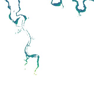
ga_s2ls_intertidal_cyear_3_x135y178_2018--P1Y_final.stac-item
dataset of product ga_s2ls_intertidal_cyear_3
Indexed by odc_admin
,
created
Region
x135y178
for
1st January 2018
Fields 🔗
creation_time
2024-03-28 12:52:51
dataset_maturity
final
eo_gsd
10.0
format
GeoTIFF
id
175e560f-cb74-47c3-8a94-c775700a20d0
instrument
ETM_OLI_TIRS_MSI
intertidal_hat
1.28
intertidal_hot
0.92
intertidal_lat
-1.79
intertidal_lot
-1.48
intertidal_offset_high
12.34
intertidal_offset_low
8.85
intertidal_otr
2.4
intertidal_spread
78.81
intertidal_tr
3.07
intertidal_tr_class
mesotidal
label
•
lat
-11.553 to -11.256
lon
131.139 to 131.427
platform
landsat-7,landsat-8,sentinel-2a,sentinel-2b
product_family
intertidal
region_code
x135y178
time
2018-01-01 00:00:00 to 2018-12-31 23:59:59