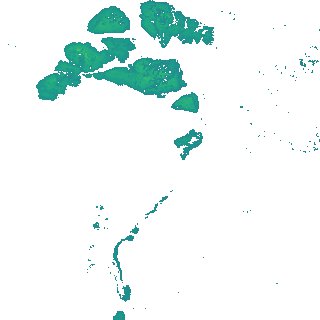
ga_s2ls_intertidal_cyear_3_x177y183_2020--P1Y_final.stac-item
dataset of product ga_s2ls_intertidal_cyear_3
Indexed by odc_admin
,
created
Region
x177y183
for
1st January 2020
Fields 🔗
creation_time
2024-04-02 06:15:35
dataset_maturity
final
eo_gsd
10.0
format
GeoTIFF
id
1066d2fe-4ee7-4834-af51-090b426dcb18
instrument
ETM_OLI_TIRS_MSI
intertidal_hat
2.13
intertidal_hot
1.83
intertidal_lat
-1.9
intertidal_lot
-0.77
intertidal_offset_high
7.45
intertidal_offset_low
27.83
intertidal_otr
2.6
intertidal_spread
64.72
intertidal_tr
4.03
intertidal_tr_class
macrotidal
label
•
lat
-9.57 to -9.247
lon
143.023 to 143.329
platform
landsat-7,landsat-8,sentinel-2a,sentinel-2b
product_family
intertidal
region_code
x177y183
time
2020-01-01 00:00:00 to 2020-12-31 23:59:59