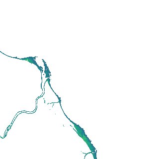
ga_s2ls_intertidal_cyear_3_x157y161_2017--P1Y_final.stac-item
dataset of product ga_s2ls_intertidal_cyear_3
Indexed by odc_admin
,
created
Region
x157y161
for
1st January 2017
Fields 🔗
creation_time
2024-03-29 10:54:18
dataset_maturity
final
eo_gsd
10.0
format
GeoTIFF
id
0ab7fe83-4d55-4844-a261-da8751036672
instrument
ETM_OLI_TIRS_MSI
intertidal_hat
0.97
intertidal_hot
0.78
intertidal_lat
-1.29
intertidal_lot
-1.21
intertidal_offset_high
8.16
intertidal_offset_low
3.52
intertidal_otr
1.99
intertidal_spread
88.32
intertidal_tr
2.26
intertidal_tr_class
mesotidal
label
•
lat
-16.409 to -16.106
lon
137.656 to 137.967
platform
landsat-7,landsat-8,sentinel-2a,sentinel-2b
product_family
intertidal
region_code
x157y161
time
2017-01-01 00:00:00 to 2017-12-31 23:59:59