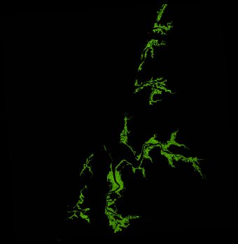
ga_ls_mangrove_cover_fyear_3_x39y43_2015-07-01_final
dataset of product ga_ls_mangrove_cover_fyear_3
Indexed by odc_admin
,
created
Region
x39y43
for
1st July 2015
Fields 🔗
cloud_cover
•
creation_time
2022-06-26 14:18:01
crs_raw
epsg:3577
dataset_maturity
final
format
GeoTIFF
id
0736669c-4dff-4c0c-a97e-13abd00bd55d
instrument
OLI_TIRS
label
ga_ls_mangrove_cover_fyear_3_x39y43_2015-07-01_final
lat
-12.371 to -11.419
lon
141.48 to 142.409
platform
landsat-8
product_family
mangrove_cover
region_code
x39y43
time
2015-07-01 00:00:00 to 2016-06-29 23:59:59
Related Datasets 🔗
ga_ls_mangrove_cover_fyear_3_x39y43_2015-07-01_final