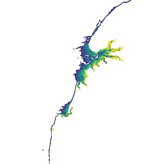
ga_s2ls_intertidal_cyear_3_x105y157_2022--P1Y_final.stac-item
dataset of product ga_s2ls_intertidal_cyear_3
Indexed by odc_admin
,
created
Region
x105y157
for
1st January 2022
Fields 🔗
creation_time
2024-03-31 22:35:55
dataset_maturity
final
eo_gsd
10.0
format
GeoTIFF
id
043ec7fb-b149-4951-91f2-07ba30fd5d2d
instrument
ETM_OLI_TIRS_MSI
intertidal_hat
3.77
intertidal_hot
2.97
intertidal_lat
-3.81
intertidal_lot
-2.48
intertidal_offset_high
10.64
intertidal_offset_low
17.44
intertidal_otr
5.45
intertidal_spread
71.92
intertidal_tr
7.58
intertidal_tr_class
macrotidal
label
•
lat
-17.342 to -17.031
lon
122.074 to 122.396
platform
landsat-7,landsat-8,landsat-9,sentinel-2a,sentinel-2b
product_family
intertidal
region_code
x105y157
time
2022-01-01 00:00:00 to 2022-12-31 23:59:59